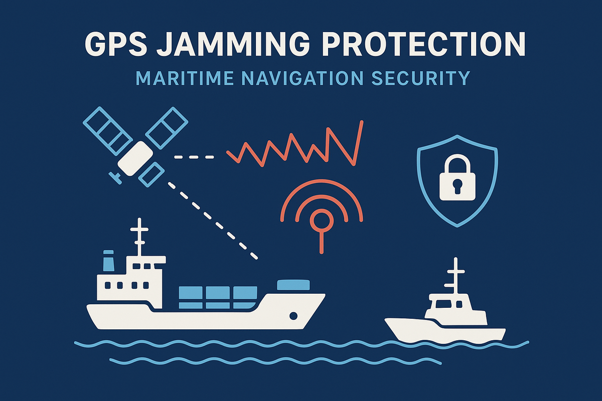
GPS Jamming Protection: Maritime Navigation Security

Introduction: The Vital Role of GPS in Maritime Navigation
Modern shipping depends on GPS for safe passage, efficient trade flow, and vessel management. Global disruptions, however, underscore the critical risks posed when GPS signals are lost or manipulated by jamming.
Understanding GPS Jamming
What Is GPS Jamming?
- GPS jamming is the intentional or accidental transmission of powerful radio signals that interfere with legitimate satellite signals, rendering GPS receivers inoperable.
- In the maritime context, this can lead to loss of navigation, disrupted cargo tracking, and heightened collision risks.
The Mechanics of an Attack
- Jammers broadcast strong RF signals on GPS frequencies, overwhelming original signals from GPS satellites.
- Spoofing, a related threat, involves feeding ships false GPS data to mislead their location.
Recent Incidents and Regional Hotspots
Real-World Events
- The Persian Gulf has seen a surge in GPS jamming and AIS spoofing since mid-2025, with vessels reporting fake port calls and navigation failures tied to regional tensions.
- Commercial and military vessels worldwide have encountered jamming, impacting everything from routine navigation to emergency rescue operations.
Consequences of GPS Jamming at Sea
Safety and Operational Impact
- Loss of GPS can lead to collisions, groundings, or environmental incidents, especially in busy shipping lanes or poor weather.
- Disruptions affect port logistics, supply chain efficiency, and insurance and compliance documentation.
Regulatory and Industry Responses
Urgent Advisories and Guidelines
- Flag states and international regulators (e.g., US MARAD) encourage use of alternative navigation (such as radar or visual techniques) and call for enhanced vigilance.
- Insurers and maritime authorities are urging operators to maintain manual records and deploy protective system upgrades.
Core Technologies for GPS Jamming Protection
Anti-Jamming Antennas and Filters
- Nulling: Adaptive systems that generate “nulls” to block jamming signals from specific directions, ensuring the GPS receiver only accepts valid signals.
- Beamforming: Focuses the GPS antenna’s reception pattern at known satellites, reducing vulnerability to off-axis jammers.
- Controlled Reception Pattern Antennas (CRPAs): Tailor reception patterns in real-time, detecting and rejecting interference.
Multi-Frequency and Redundant GNSS
- Using receivers compatible with multiple GNSS constellations (e.g., Galileo, GLONASS, BeiDou) provides redundancy, as jammers often target only GPS frequencies.
- Advanced systems automatically switch to the strongest and cleanest source.
Inertial Measurement Units (IMUs) and Data Fusion
- IMUs offer position and heading estimation when GPS is compromised, ensuring continued navigation over short periods.
- Data fusion algorithms merge IMU, radar, ECDIS, and visual information for robust positioning and anomaly detection.
Spectrum Monitoring and Jammer Detection
- Automated spectrum monitors scan for suspicious jamming signals, enabling rapid threat location and countermeasure deployment.
- Satellite-based systems like GNSS reflectometry pinpoint jammer sources globally, supporting enforcement and prevention.
Best Practice Strategies for Ship Operators
Preparation and Resilience Building
- Layered Defense: Combine anti-jamming antennas, multi-frequency receivers, IMUs, and procedural alternatives.
- Crew Training: Regular drills for GPS failure scenarios and recovery plans.
- Route Risk Assessment: Increased caution and technical readiness in known hotspots like the Persian Gulf.
Incident Management and Reporting
- Document and report GPS interruptions for insurance, compliance, and regulatory coordination.
- Maintain manual logs and backup systems as failsafes during suspected disruptions.
Future Trends and Research Directions
Advancements in Protection
- AI-driven anomaly detection and auto-switching to backup navigation are being integrated into maritime bridges.
- Satellite constellations dedicated to global jammer detection and rapid law enforcement intervention are growing.
Policy and Global Cooperation
- UN agencies and maritime regulatory bodies are pushing for new satellite navigation security standards and international jammer prosecution efforts.
Conclusion: Ensuring Safe Navigation Amid Emerging Threats
Safeguarding maritime GPS navigation requires a multi-layered approach: cutting-edge hardware, resilient procedural frameworks, coordinated crew response, and ongoing vigilance. Today’s protection strategies are becoming more advanced, but continued investment and awareness remain vital as jamming threats evolve.
Take the Next Step with CodeSecure Solutions
Cyber threats are growing more sophisticated every day. With a trusted partner by your side, you can safeguard your business while focusing on what truly matters—growth and innovation.
At CodeSecure Solutions, we deliver comprehensive cybersecurity services in Chennai, uniquely tailored for startups, SMEs, and enterprises:
- Vulnerability Assessment & Penetration Testing (VAPT)
- Network Security Solutions
- Compliance Support (ISO 27001, PCI-DSS, HIPAA, DPDP Act, GDPR)
- Cloud & Endpoint Protection
- Security Awareness Training
No matter your industry or size, CodeSecure customizes solutions to fit your needs—ensuring your data, reputation, and operations remain secure.
Ready to Strengthen Your Defenses?
- 📞 Call: +91 73584 63582
- ✉️ Email: [email protected]
- 🌐 Visit: www.codesecure.in
Stay secure. Stay informed. Choose CodeSecure Solutions—your partner in cyber resilience.
